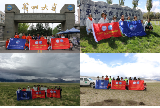
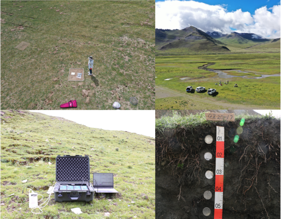
the sixth unit of the second comprehensive scientific research team of qinghai-tibet plateau, whose topic is "effects of changes in grassland utilization of river and lake sources on vegetation and soil", conducted an investigation for more than 20 days in shigatse city and ngari prefecture, tibet from august 17 to september 8, 2020. the expedition team consisted of 14 members from the team of professor wang xia and professor gong jie from the college of earth and environmental sciences, lanzhou university. the scientific expedition team investigated the ecological indicators of different grazing forms and grazing intensity areas around the grassland utilization changes in the source areas of rivers and lakes and their environmental effects, and also collected soil and plant samples. the scientific expedition aims to understand the impact of human activities on the ecological environment of the source areas of rivers and lakes in a more comprehensive and systematic manner, and to provide scientific suggestions for the realization of green and sustainable development in the area.

fig1. group photos of the team
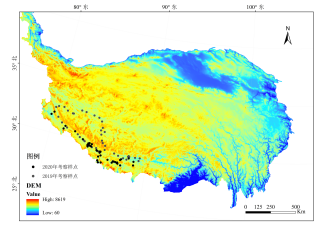
the qinghai-tibet plateau is the headstream of the ten major rivers in asia and is also known as the "asian water tower". among them, mount kailash is 6,656 meters above sea level, which is the main peak of the gangdise mountains in the southwestern qinghai-tibet plateau. there are several water systems around mount kailash: shiquan river (in gar county) on the upper reaches of the indus river to the northwest, xiangquan river (in zanda county) to the southwest, and manpang yumco and kongque rivers ( in burang county) to the south. ), the east is the maquan river (in zhongba county), the upper reaches of the yarlung zangbo river.

fig2. distribution map of sampling points in the source area of rivers and lakes
the climate in tibetan areas is very cold and severe weather such as hail, rain, and snow frequently occur. our scientific expedition team members overcome many disadvantages and successfully completed the task of field expedition this year. we will continue to uphold the spirit of the older generation of scientists, carry out in-depth scientific investigations in the source areas of rivers and lakes, accurately grasp the impact of grazing activities on the ecological environment, so as to determine reasonable and scientific grassland grazing methods and management measures for the region, and propose an alpine grassland ecosystem system solutions for sustainable development.

fig3. field sampling work

fig4. mount kailash and the ruins of the guge dynasty