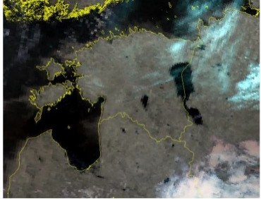
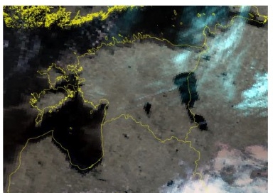
recently, professor wu xiaodan, from the college of earth and environmental sciences, lanzhou university, has obtained the new research results in the authenticity test of quantitative remote sensing, and demonstrated how to evaluate the geometric accuracy of coarse resolution remote sensing data. the paper entitled “geometric accuracy assessment of coarse resolution satellite data sets: a study based on avhrr gac data at the subpixel level” was published in the top journal earth system science data (if = 10.951). professor wu xiaodan is the first author and the first corresponding author and lanzhou university is the main institute.
in this paper, a method for geometric precision evaluation of coarse resolution remote sensing data is proposed—block matching method based on correlation. the core of this method is to simulate the geometric deviation in different directions with a certain step size based on the reference image and calculate the correlation between the offset reference image and the image to be evaluated. this method has several advantages. firstly, it directly acts on the pixel value and is not affected by the mixed pixel and the ground landmarks with more accurate and comprehensive geometric precision evaluation results. secondly, the method can be applied to different coarse resolution remote sensing data, as long as the reference image and the region of interest meet certain requirements. last but not least, the method is not limited in any time and space, so it can be applied continuously in time and space which provided an opportunity to study the relevant factors affecting the geometric precision.
links to the paper:

